Stratton Surveying & Mapping has been a family-owned business in the Tri-Cities since the early 1980s. Bob and Peggy Stratton worked diligently to build strong relationships with contractors and the community. As the company grew and thrived, they sought a new generation to lead the business, allowing them to retire and enjoy more travel.
In June 2004, Aaron Dyck, a Professional Land Surveyor in Washington, was looking to relocate his family from Spokane. He and his wife Becki met with Bob and Peggy, and an instant connection formed, like family.
Aaron and Becki acquired Stratton Surveying & Mapping in 2008, committed to preserving the relationships Bob and Peggy established while forging new connections within the community.
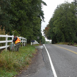
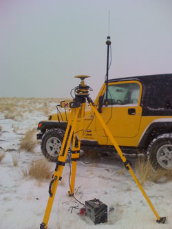
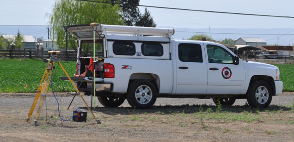
At Stratton, we embrace challenges. We view each client not just as a job, but as a valued relationship. We utilize the latest equipment to ensure unparalleled accuracy. Our clients' timelines and budgets are paramount on all projects. We are dedicated to finding the most time-efficient and cost-effective solutions for your project.
We provide comprehensive ALTA/ACSM surveys, ensuring accurate and detailed representations of your property.
Our team expertly crafts legal descriptions for your property, ensuring clarity and accuracy.
We create precise as-built and as-constructed surveys, capturing the final details of your project.
We provide accurate elevation and flood certificates, essential for understanding your property's risk.
We develop detailed binding site plans, outlining the layout and features of your property.
We conduct thorough hydrographic surveys, mapping the underwater features of your property.
We assist with boundary line adjustments, ensuring accurate property lines and resolving any disputes.
We facilitate parcel combinations, merging multiple properties into a single unit.
We perform comprehensive boundary surveys, establishing the precise limits of your property.
We utilize photogrammetry to create accurate and detailed maps of your property.
We provide precise construction layout services, ensuring your project is built to specifications.
We create short plats for smaller property divisions, simplifying the process.
We specialize in surveying for communication and cellular towers, ensuring accurate placement and compliance.
We handle both pre-plat and final plat surveys for subdivisions, guiding you through the process.
We create detailed condominium plats, defining individual units and common areas.
We conduct comprehensive topographic surveys, capturing the terrain and features of your property.
- Licensed in Multiple States
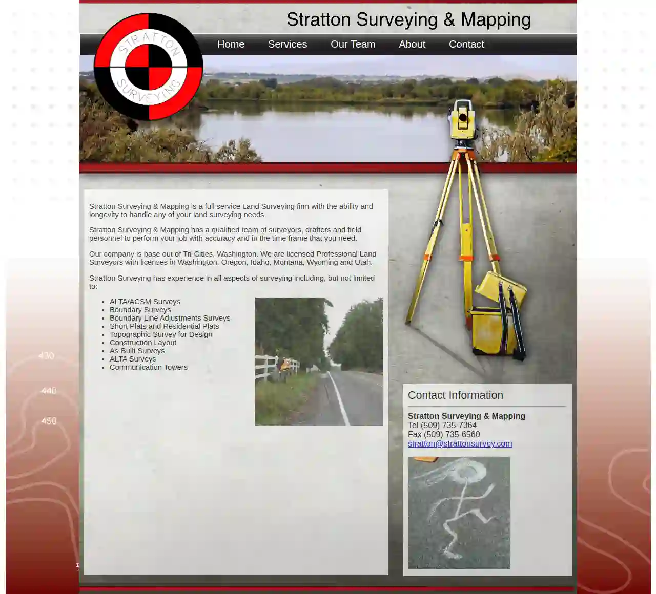
Stratton Surveying & Mapping is licensed in Washington, Oregon, Idaho, Montana, Wyoming, and Utah, allowing us to serve a wider range of clients.
- Industry Recognition
Read testimonials from our satisfied clients who have experienced our professionalism and quality workmanship.
- Environmental Responsibility
We are committed to environmentally responsible practices, minimizing our impact on the environment.
- Commitment to Quality
We are licensed, insured, and prioritize safety in every aspect of our operations.